
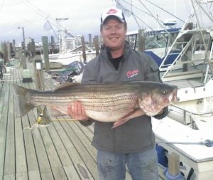
The 28 Mile Wreck is a popular fishing spot for sharks, mahi, yellowfin & bluefin tuna and other pelagic fishing off the coast of New Jersey. It is easily in range for mid and large size boats boats trying for some tuna fishing. If you are looking for The 28 Mile Wreck GPS coordinates, we have them in this post.
Where is the 28 Mile Wreck?
Located only about 28 miles East of Atlantic City off the coast of Northern New Jersey.
Here are the GPS coordinates for The 28 Mile Wreck:
Decimal Degrees (DD) 39.007500 -74.082800
Degrees Decimal Minutes (DDM) 39° 0.45′ N 74° 4.968′ W
Degrees Minutes Seconds (DMS) 39° 0′ 27″ N 74° 4′ 58.08″ W
Fishing The 28 Mile Wreck
Great place to catch mako sharks in June and other pelagic species.
View this post on Instagram

Add comment